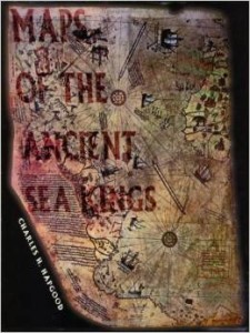
 Here’s another one for you worldbuilders out there.
I just re-read Charles Hapgood’s Maps of the Ancient Sea Kings. Depending on your perspective, this is either a persistent bit of quackery or a classic of alternate history. Me, I’m not so sure, but I try always to bear in mind that sometimes the crazies turn out to be right.
Hapgood analyzes a series of medieval maps and concludes:
1) they were made with sophistication and technology (e.g., trigonometry and some kind of longitude-measuring method) unavailable to the medievals, or to their known predecessors,
2) they tended to have in common a cartographical connection with Alexandria in Egypt, implying that they might at one time have been copied or assembled at the great library there, and
3) they show some features, especially but not limited to apparently accurate coastlines and other features of the continent of Antarctica, that indicate that their originals were made no more recently than 6,000 years ago, and by a civilization that was familiar with all the world’s continents.
Right or wrong, this is cool stuff to think about. At the least, it’s an interesting reminder that the humans of 6,000 years ago had the same brains as the humans of today. And again, you worldbuilders, take note.

 Follow


